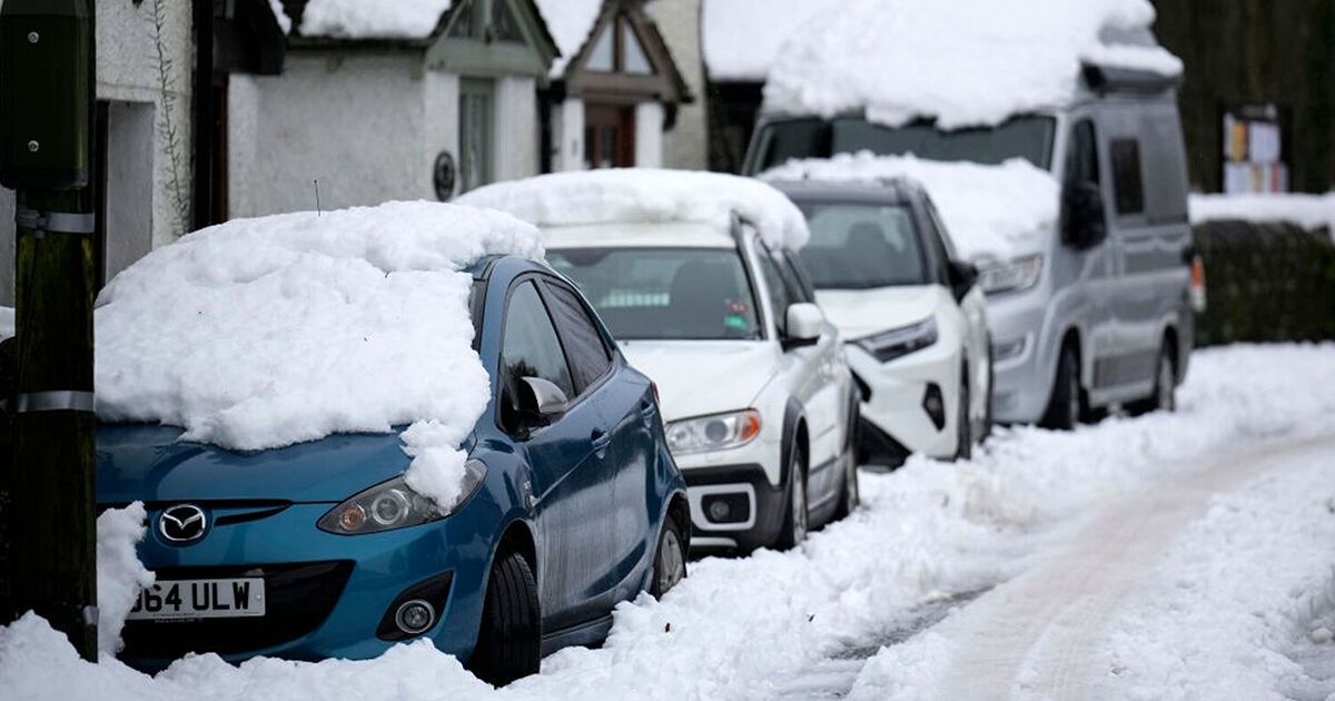
Britain will be battered with freezing weather conditions with several parts of the country witnessing snowfall for a continuous 72 hours, the latest weather maps have suggested.
Maps from WXCharts have turned white for the period beginning April 2 depicting heavy snow showers in the north of the British Isles.
A nip in the air could be felt from around 6am on April 2 when the snow begins to gather around Inverness in Scotland.
WXCharts maps, which are made using the Metdesk data, show that snowy conditions will continue until 6am on April 5 – exactly three days later. Areas such as Inverness, Wick, Portree, and Fort William could see snowfall up to 1cm per hour, according to the weather charts.
The minimum temperature will oscillate between 0 to -1C during the 72-hour period.
The swing in the weather will come days after the country witnessed warmer temperatures across the UK. The temperature levels are set to soar to 16C during this weekend.
Deputy chief meteorologist, Dan Harris told The Sun: “At present Tuesday looks mostly settled, between one area of low pressure responsible for Monday’s rain in the south or southeast, clearing to the east, and another low arriving from the southwest later.
“How quickly this second low and associated rain arrives is a significant point of uncertainty in the longer-range forecast.
“But it will herald a further spell through early April of unsettled weather focused particularly across southern areas; best chance of any more settled conditions, and probably colder conditions, will be across the north of the UK.”
The Met Office’s long-range forecast between April 4 and 13 suggests: “The ongoing unsettled spell of weather seems likely to continue through the first few part of April with little sign of any dramatic change.
“Initially, the heaviest and most frequent spells of rain and showers are likely to be across southern parts of the UK, with drier brighter and colder conditions dominating further north.
“However, through most of the period, all parts are likely to have some rain or showers, and some snow is possible for a time over high ground in the north.
“Overall, temperatures near average, although rather cold with night frost at first in the north. Often windy, especially in the south and west.
“Towards mid-month, the very unsettled weather may begin to ease, with some drier interludes possibly developing, but this is far from certain.”
This Evening and Tonight:
Showers easing this evening for Northern Ireland and Scotland. Further showery rain pushing into western parts. Elsewhere, clearer spells with mist, fog and low cloud moving in from the North sea, affecting many eastern parts. Feeling cold under clearest skies.
Sunday:
Most areas dry with sunny spells, though turning cloudier across the central and eastern England with patchy rain possible and low cloud for eastern coasts. Showery rain affecting Cornwall later.
Outlook for Monday to Wednesday:
Becoming unsettled again through Monday and Tuesday with further showers or spells of rain, especially in the south, drier in the north. Widely unsettled on Wednesday and cooler.


