


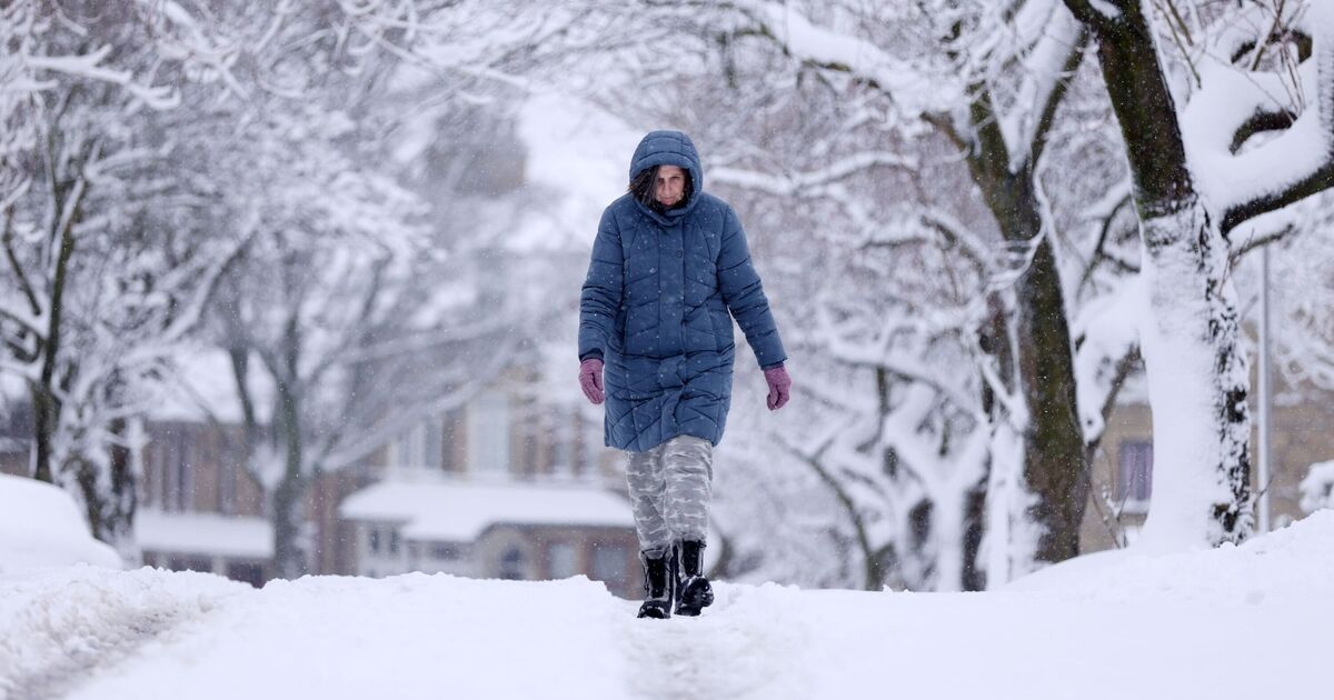
Parts of Britain are likely to be covered by snow as the latest weather maps show wintry conditions spreading across the UK.
However, the maps suggest that only five counties in England may escape the blizzard barrage while others shiver in the freezing weather.
According to WXChart maps, which are prepared using the Metdesk data, the counties of Gloucester, Somerset, Berks, Wiltshire, and Worcester are likely to miss the snowy weather.
The heaviest snowfall may be experienced in areas around Edinburgh, Aberdeen, Newcastle and Plymouth, the weather maps have suggested.
While areas around Cardiff and Southampton may not see any snowy conditions, the maps show.
However, the maps show that temperatures across the country are likely to remain low, with the coldest conditions around Inverness and Aberdeen.
The Met Office’s long-range forecast between February 13 and 22 reads: “An easterly or south-easterly wind is likely, with cold and cloudy weather continuing at first. Atlantic Low pressure, however, is inching closer to the British Isles, with bands of rain gradually moving into western parts.
“It is also possible that this might fall as snow initially as precipitation initially runs into resident cold air.
“Eastern areas of the country will hold on to relatively drier conditions for longer, but it will still feel cold under the cloud and wind.
“It is possible, however, that the cold, cloudy easterly or south-easterly theme continues. Eventually, though, it is thought that low pressure will push frontal bands of rain across much of the UK by the end of the week, with wind and rain becoming the dominant feature of the weather.”