The UK may be set for miserable weather at the start of September, but the heat will return on two occasions later this month, according to weather maps.
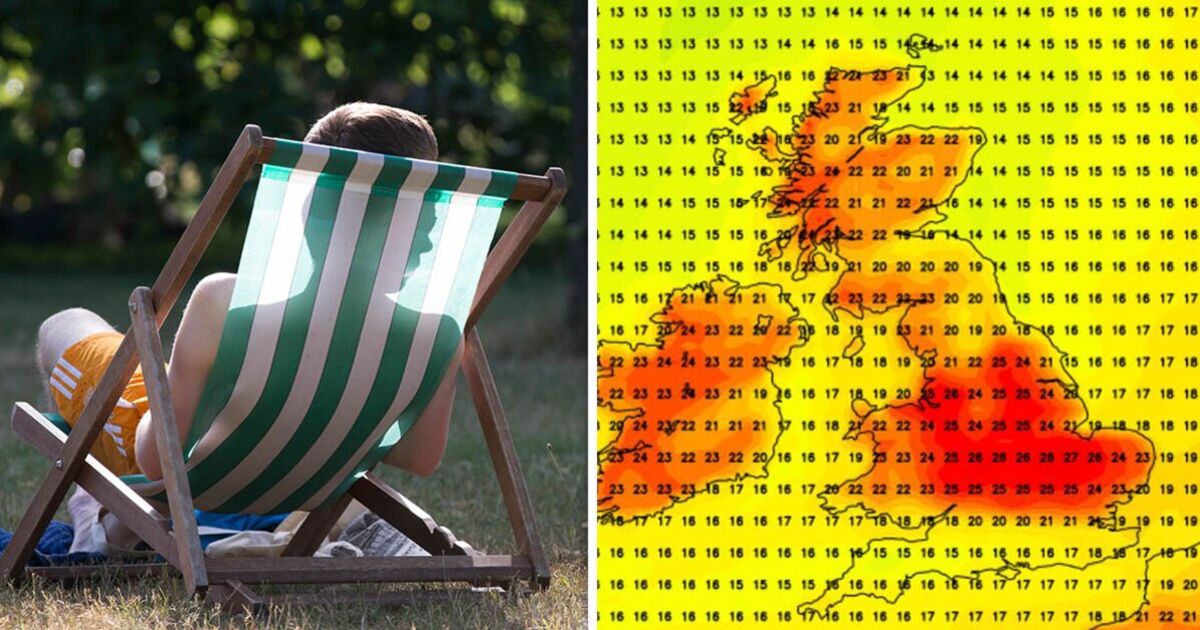
Netweather maps show temperatures will drastically pick up on Friday (September 6) following a period of much cooler weather.
The map shows temperatures soaring to highs of 27C with the Midlands and south of England basking in the hottest conditions.
Scotland and Northern Ireland will also enjoy temperatures in the low 20s while the northeast of England will be cooler with temperatures in the low teens.
Then, on September 18, England will once again be hit with temperatures in the mid-twenties, with the east of the country enjoying the warmest weather with highs of 24C.
However, this time Scotland, Wales and Northern Ireland won’t be blessed with the same temperatures.
In much of Scotland and Northern Ireland, the temperatures will not breach the 20C mark while Wales will reach the low twenties.
The Met Office has forecasted that September will be an unusual month with rainfall, thunderstorms, and fog on some days before sunny spells arrive.
Met Office Deputy Chief Meteorologist Nick Silkstone said: “The forecast for the UK past the middle of the week is still uncertain, with a complex jet stream interaction taking place, and this determining the relative position of areas of high and low pressure relative to the UK.
“It is most probable high pressure will sit to the north of the UK, with lower pressure to the south allowing cloudier conditions, outbreaks of rain, and the potential for further thunderstorms in the south, while further north more settled and brighter conditions are most probable.”
“Less likely scenarios include the high pressure building more widely across the UK which would lead to more settled conditions and sunny spells, and there are other outcomes that lie between the two illustrated here.
“This complex jet stream interaction which drives these potential different directions the UK weather could take, will mostly conclude by late Tuesday, which will lead to us being able to identify the winning scenario by that point.”
The Met Office says a UK heatwave is met “when a location records a period of at least three consecutive days with daily maximum temperatures meeting or exceeding the heatwave temperature threshold.”.


