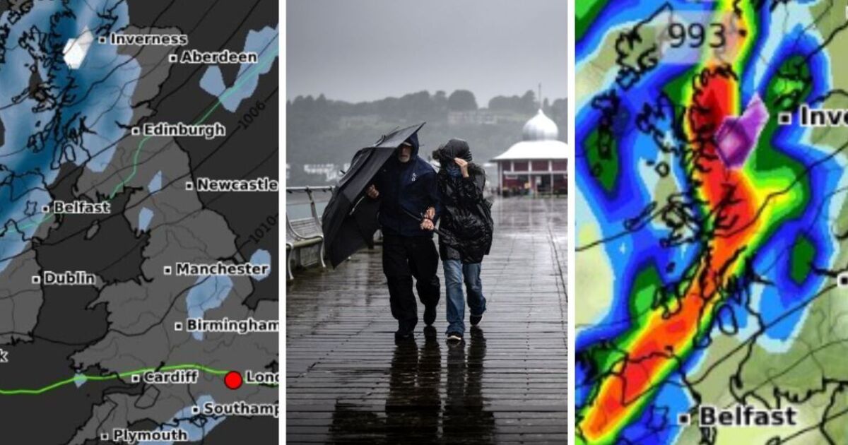
A wall of wet weather is heading to the UK this weekend as the nation braces for up to 7mm of rain.
UK weather maps show a long band of rain hitting large parts of Scotland, Northern Ireland and northern England.
The maps from WXCHARTS have turned red and orange indicating that heavy showers will blast Britain.
Areas across the nation will see heavy rainfall from October 12, with the largest band of rain hitting the North West of the UK.
The worst impacted areas can expect to see up to 80mm of rainfall. Northern parts of Scotland in most in the firing line and residents there should also brace for 1cm of snow as temperatures plummet.
Manchester to Birmingham will see wet weather throughout the weekend, with parts of Southampton and Plymouth in the South East also getting rain showers.
More positively, the rest of England will see a drier Saturday, with sunny spells breaking through.
Wales can expect a dry weekend with milder temperatures, seeing a less windy weekend than other parts of the UK.
Areas including Edinburgh and Belfast should brace for windier conditions, with gusts peaking at 50mph at around 9am on October 12.
The Met Office weather forecast from Saturday until Monday says: “Showery rain across Scotland and Northern Ireland on Saturday.
“Dry elsewhere, with sunny spells. Sunday and Monday should remain bright for most, though a few showers are possible.”
The Met Office’s long-range forecast predicts the week starting October 14 will see the period dominated by high pressure to the east of the UK.
There will be reasonably dry weather during the early parts of the week, yet any significant rainfall will cover western areas.
From October 23, low pressure is expected to increase the chances of rain, showers and perhaps strong winds, especially in the west or northwest.
The UK can hope to see higher trending temperatures due to southerly winds, with warmer conditions expected.


