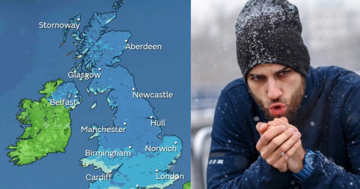
A new interactiv e map from the Met Office shows temperatures across the UK plummeting well below average in the days ahead.
The UK weather agency shared a post on X showing temperatures quickly falling over the coming days, indicating a precipitous plunge in temperatures at the start of the week.
According to the forecast, vast swathes of the British Isles are expected to see the mercury drop -9C below the maximuim temperature average for this month by Tuesday (November 19).
However, multiple areas south of Birmingham, including London will be seeing a lesser, but still significant, -6C drop.
These appeared to be backed up by new weather maps from wxcharts.com showing temperatures on Tuesday and Wednesday below freezing across the UK, with minimum temperatures in parts of the Highlands hitting a teeth-chattering -9C.
The cold is expected to continue, with most of Northern Ireland forecast to see minimum temperatures of between -1C and -4C on Wednesday while areas of Wales could see lows of -6C.
Towns and cities across England are also expecting some bitter cold on Wednesday, with large parts of the Midlands, including Birmingham, getting around -6C at the lowest point, according to forecasts today.
London and surrounding areas will be slightly less cold, but still below zero, the maps suggest.
In the Met Office’s long-range forecast for the period from November 19-28, it predicts that cold or very cold conditions “are likely to affect most if not all parts of the UK early in this period”.
Northern parts and exposed coastal districts are expected to be affected by wintry showers.
“Overnight frost will likely be widespread and occasionally strong winds will result in significant wind chill.
“However, there may be more organised areas of rain and snow, accompanied by strong winds, which run across some parts,” the agency adds on its website.
The forecast warns this could lead to “some disruptive weather at times, especially at the start of this period. Briefly milder conditions may accompany these in the south.
“There is a hint that it may become less cold late in the period, but still likely remain mostly unsettled with further spells of rain and snow.”


