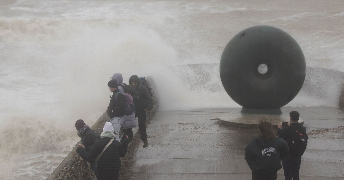
Parts of Britain are likely to be hammered by snow, rain and brutal 75mph gales as the latest weather maps show unsettled conditions for January 25.
WXCharts maps generated on Sunday, which are prepared using Metdesk data, suggest some areas will be hit by snow, while the rest of Britain is to be battered by strong winds.
According to the latest maps, the northern areas such as Inverness, Wick, Portree and Fort William are likely to be covered under a thick layer of snow as the temperature level plummets to 0C in these areas.
On the other hand, the southern parts of the country, including Birmingham, Manchester, Newcastle and Cardiff, may see heavy rainfall as the stormy conditions settle in.
The weather forecast, using the maps from January 12, comes days after the Met Office issued yellow alerts of ice and snow for various parts of the country.
The temperature leveles plummeted to -18.9C in Altnaharra on Saturday morning – the UK’s coldest January night in 15 years.
It was the coldest January overnight temperature since 2010, when temperatures dropped below minus 15C several times at locations across the UK, including minus 22.3C on January 8 in Altnaharra.
Met Office Deputy Chief Meteorologist, Mark Sidaway, said: “On Sunday and through Monday south-westerly winds will bring some rain and much milder temperature across the northern UK. With milder temperatures and rain moving in, a rapid thaw of lying snow could cause a few issues. Further south it will remain colder and dry for longer and here freezing fog could cause some problems on Saturday.
“Looking further ahead high pressure will bring more settled conditions to most of the UK through next week, occasional fronts will glance the northwest of Scotland bringing rain at times and breezier conditions, but it will remain mild.”
The Met Office’s long-range forecast between January 17 and 26 reads: “High pressure will lie close to the southeast of the UK initially, with generally settled conditions across many parts.
“Cloud amounts will be variable, with some frost and fog in the south and east, this slow to clear, but some rain in the far northwest.
“A weakening frontal system looks like it will edge east across the UK over the weekend, before high pressure briefly builds back in from the west in its wake. Low pressure then seems likely to increasingly influence the UK weather later in the period, with some rain and windier conditions affecting most if not all parts.
“Temperatures are likely to be generally a little above average, especially in the north, though more frost and fog patches are likely under clearer skies and lighter winds.”


